-

Amanda Major started the topic Online Strategy to Decrease Transactional Distance Using a Student Location Map in the forum Share an Effective Practice 6 years, 1 month ago
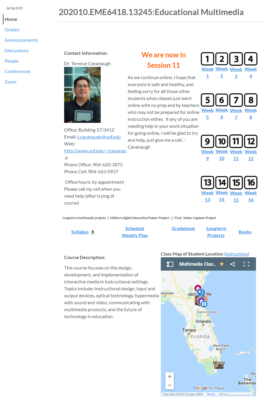
Terence Cavanaugh with UNF-COEHS was asked to send this fabulous example of an online strategy during the TOPkit Workshop 2020. Its aim is to decrease transactional distance using a student location map.
“This is an introduction strategy I use with my online students, it allows them to participate as a group while sharing information about themselves as they all build the map. I use an embedded google map with all my classes (each class had a different map) that allows me and the students to see all the students that are participating in the class. At the start of the semester, one of the students’ initial assignments is to participate in the development of an interactive Geographic Information System (GIS)-based map that included their location (home, work, or area) and some information about themselves (text, picture, and icon). The interactive class map provided a method of cooperative student participation in a course product and assisted in the visualization of the students as members of a group, through the display of course members’ locations, a positive for spatial thinkers or just the standard about yourself discussion introductions. Research analysis was done on the map integration. The majority of participants (65%) indicated that the maps contributed to their sense of community, while only 8.7% felt it did not. Likewise, a majority of participants (61%) indicated that the map assisted in relationship development, while 30.43% were neutral, and only 8.7% felt it did not. It is relevantly easy to integrate the map in the LMS. All I do is create the map in mymaps in Google, then set the sharing so that anyone with the link can edit, and then get the embed code, and paste that into the LMS course home page, and then provide instructions for how the students can edit.
This is a sample map from a current class.”
Thank you, Terence!